
Laser Scanning BIM
Accurate Scan-to-BIM Models
Get a Free Quote From Us Today!
We aim to get back to you in 24 hours.
At Laser Scanning BIM, we specialise in 3D laser scanning and scan-to-BIM services for a wide range of projects. Our skilled team captures high-resolution point cloud data and transforms it into detailed BIM models.
We serve architectural, engineering, refurbishment, and facilities management sectors, ensuring up-to-date and precise models for existing buildings and structures. Reach out to us today to see how we can assist you.
Who Is Laser Scanning BIM?
At Laser Scanning BIM, we’re dedicated to advancing the precision of architectural and engineering projects through our 3D laser scanning expertise. We use scanner models like the FARO Focus and Leica BLK360, known for their reliability in capturing high-resolution point clouds.
Our services are designed to offer detailed insights into existing structures, ensuring seamless transitions from physical buildings to digital models. These point clouds are then transformed into Building Information Models (BIM), allowing architects to realise digital twins with high fidelity.
We cater to a broad range of client types, including commercial developers, historical conservationists, and residential property managers. Our adherence to industry standards like RICS 3D Modelling Guidelines ensures consistency and reliability.
By providing accurate as-built documentation, we help prevent costly errors during renovation or redevelopment phases. Our commitment to innovation and accuracy makes us a trusted partner for your scanning needs.
What Services Does the company Laser Scanning BIM Provide?
Laser Scanning BIM offers a range of services tailored for various stages of a building’s lifecycle. Our offerings include:
- 3D Laser Scanning: Capturing precise point cloud data for existing structures using advanced LiDAR technology. This method allows us to measure complex geometries with millimetre accuracy.
- Scan-to-BIM Conversion: Transforming laser scans into accurate BIM models suitable for Autodesk Revit and other industry-standard software, aiding seamless integration into design processes.
- Architectural Support: Providing detailed data, including as-built drawings and digital elevation models, to assist design and planning, which is crucial for architects and planners.
- Refurbishment Planning: Offering insights that guide renovation and retrofit projects by identifying structural characteristics and potential problem areas, helping save time and costs.
- Facilities Management Integration: Enhancing maintenance strategies with up-to-date building information, enabling efficient asset management and operations for facilities managers.
These services support various client needs, from architects and engineers to property developers and facilities managers. Contact us to discuss how we can assist with your specific project.
When Is Laser Scanning Needed?
Laser scanning is essential when accuracy is paramount, especially in capturing critical dimensions and details. It is particularly valuable during design and documentation stages for complex structures, where traditional measurement methods may fall short.
For historic building restorations, laser scanning enables us to create detailed 3D models that can inform conservation strategies, preserving intricate architectural details accurately.
Before commencing refurbishment projects, scanning provides an exact digital twin of the current site conditions, reducing the risk of costly errors. When integrating existing structures into new developments, it ensures precise geometry, facilitating clash detection and spatial coordination in Building Information Modelling (BIM) processes.
These detailed datasets support compliance with industry standards like ISO 19650 for BIM, enhancing project efficiency and accuracy. Our technology is adaptable for various sectors, including commercial, residential, and industrial properties, ensuring any construction or modification efforts align with the intended design.
Contact us to discuss how laser scanning can benefit your project.
Get a Free No Obligation Quotation Today
How Does Laser Scanning BIM Work?
We follow a structured process to ensure accuracy and efficiency:
- Initial Consultation: We discuss project requirements and objectives with our clients, identifying specific areas of focus and outlining any existing conditions that may affect the scan. This typically involves stakeholders such as architects, engineers, and construction managers to align project goals.
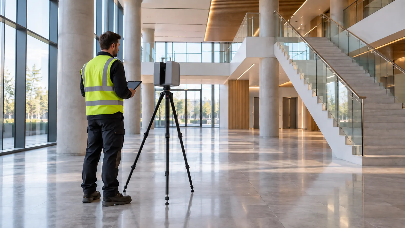
- On-Site Scanning: Using terrestrial laser scanners such as the Leica RTC360 or Faro Focus, we capture precise point cloud data, measuring millions of points per second. This step often includes several site visits to ensure complete coverage, taking into account environmental factors like weather and site access.
- Data Processing: Scanned data is converted into a usable digital format using software like Autodesk ReCap or Bentley Pointools. This stage includes cleaning and registering the point cloud to eliminate noise and align overlapping scans.
- BIM Modelling: We build detailed BIM models from the processed point clouds using platforms such as Autodesk Revit. These models include architectural, structural, and MEP elements and adhere to industry standards like PAS 1192 and ISO 19650.
- Delivery and Support: Finally, we provide comprehensive models alongside ongoing client support, including revisions and updates as projects progress. Our models facilitate informed decision-making and improved project collaboration.
We encourage potential clients to reach out and discuss their projects in detail.
Who Does Laser Scanning BIM Help?
We assist a variety of clients, including architects, engineers, refurbishment planners, and facilities managers. Our laser scanning and Building Information Modelling (BIM) services are particularly beneficial for urban planners who require precise 3D models for city infrastructure projects.
By using technologies such as LiDAR and photogrammetry, we provide detailed scans of existing structures, aiding in restorations and historical preservation.
Contractors and construction project managers benefit from our scans in planning stages, ensuring minimal disruptions by identifying potential structure clashes. For estate agents and property developers, our services offer virtual tours and accurate floor plans that enhance sales presentations.
Our expertise also supports environmental consultants in assessing site conditions, such as land grading and drainage planning. Reach out to us for detailed, reliable data to make informed decisions on your next project.
How Quickly Can Laser Scanning BIM Respond?
Our team is ready to quickly meet your project needs, with initial data capture typically commencing within one to two weeks, depending on the project’s complexity and size. We use advanced laser scanners with varying range and resolution capabilities to ensure precise measurements for both small-scale residential surveys and large-scale commercial developments.
Projects might involve point cloud processing or 3D modelling, each potentially affecting the timescale. Our professionals adhere to industry standards such as PAS 1192-2, ensuring reliability and quality.
We are mindful of client timelines, particularly when dealing with time-sensitive projects like renovations or retrofits on heritage sites. Contact us to discuss your specific timelines and to schedule a service.
How Does Laser Scanning BIM Ensure Quality and Compliance?
We adhere to the highest industry standards, using leading-edge laser scanning technology and maintaining rigorous quality control measures. Our process involves the use of Trimble and Leica laser scanners, which provide precise measurements up to the millimetre level for a wide range of construction and renovation projects.
The data captured is processed and verified using Building Information Modelling (BIM) software like Autodesk Revit and Navisworks to ensure it aligns with both ISO 19650 standards for BIM data management and regional building codes.
Our team is experienced in delivering data that complies with relevant building and safety regulations, ensuring accurate and reliable results. By integrating point cloud data into BIM models, we facilitate clash detection, which helps identify potential conflicts in architectural or engineering plans before construction begins.
This proactive approach can save time and costs and supports project success.
Request a free quote
Why Choose Laser Scanning BIM?
Choosing Laser Scanning BIM means opting for precision, expertise, and dependable service. Our process uses Leica and FARO laser scanners, which capture detailed environmental data with accuracy within millimetres.
Here are some reasons:
- High Accuracy: State-of-the-art laser technology ensures precise data capture, reducing project risks related to design inaccuracies and spatial conflicts.
- Experienced Team: Our team comprises skilled professionals in laser scanning and BIM modelling, trained to handle projects from small residential surveys to large commercial developments.
- Comprehensive Support: We offer guidance from project planning through to data integration, ensuring alignment with industry standards like PAS 1192 for BIM workflows.
- Reliable Results: Producing up-to-date and accurate BIM models supports effective decision making, enabling clash detection, and streamlining processes during construction phases.
- Flexible Services: We provide tailored solutions to meet diverse project needs and scales, adapting services for architects, engineers, and construction managers involved in various sectors.
Explore our services to see how we can assist in your next project.
Frequently Asked Questions
What is a point cloud?
A point cloud is a set of data points captured in space, representing the geometry of a structure. It forms the basis for creating detailed 3D models.
How accurate are your laser scans?
Our laser scans are highly accurate, typically achieving precision within millimetre-level tolerance, providing an excellent foundation for precise models.
Can you scan any type of building?
Yes, we can scan a wide variety of buildings and structures, from historical to contemporary, ensuring every detail is captured accurately.
How long does it take to receive a BIM model?
Depending on the project size, our typical turnaround time for delivering a BIM model is from around two to four weeks after data capture.
Do you offer support after delivering the BIM model?
Absolutely, we provide ongoing support to ensure the BIM model integrates seamlessly into your projects and meets your requirements.
Get a Free Quote
Contact us today to discuss your project requirements and receive a tailored quote.
speak with our team today
What People are Saying About Us
★★★★★
“Really pleased with the clear, accurate 3D model from Laser Scanning BIM. Delivered promptly and easy to use.”
Liam Osei
London
★★★★★
“The Laser Scanning BIM team kept us informed throughout and produced a Revit model with every room and level clearly named. I would happily recommend them.”
Imogen Lowry
London
★★★★★
“A friendly, welcoming team at Laser Scanning BIM who made me feel looked after, and I was thrilled with the whole experience.”
Sophie Bennett
London
★★★★★
“Laser Scanning BIM delivered a tidy model and drawings that our team could use right away. Would definitely use them again on future jobs.”
Chloe Fletcher
London
Our Locations
We are proud to work nationally across the UK, allowing us to ensure we can provide services to you.
For a full list of counties we cover in the UK, see below.